How 3D Visualization Enhances Planning Permit Approvals


The Power of 3D Visualization in Planning
In the world of urban planning and development, obtaining a planning permit can be a complex and time-consuming process. However, the advent of 3D visualization technology has revolutionized the way developers, architects, and planners approach this challenge. By providing a clear, realistic, and interactive representation of proposed projects, 3D visualization significantly enhances the likelihood of securing planning permit approvals.
Through the use of detailed 3D models, stakeholders can better understand the potential impact and benefits of a development. This technology allows for a more comprehensive assessment, facilitating informed decision-making by planning authorities.

Improving Communication with Stakeholders
One of the primary benefits of 3D visualization is its ability to improve communication among all parties involved in the planning process. Traditional blueprints and 2D plans can often be difficult for non-experts to interpret, leading to misunderstandings and delays. In contrast, 3D models provide a clear and engaging way to convey complex architectural ideas.
By using 3D visualization, developers can present their projects in a way that is easily understandable to both technical and non-technical audiences. This transparency helps build trust and fosters collaboration among developers, community members, and planning officials.

Enhancing Design and Environmental Considerations
3D visualization not only aids in communication but also enhances the design process itself. By visualizing a project in three dimensions, architects and planners can explore various design options and assess their feasibility before finalizing plans. This flexibility can lead to more innovative and aesthetically pleasing designs that are more likely to receive approval.
Additionally, 3D visualization allows for a thorough evaluation of a project's environmental impact. By simulating how a new development will interact with its surroundings, planners can identify potential issues and make necessary adjustments to minimize negative impacts on the environment.

Streamlining the Approval Process
Another significant advantage of 3D visualization is the potential to streamline the planning permit approval process. By providing a detailed and accurate representation of a project, 3D models can help reduce the number of revisions and resubmissions required, ultimately saving time and resources.
Planning authorities can use 3D visualizations to quickly assess compliance with zoning laws, building codes, and other regulations. This efficiency allows for faster decision-making and increases the likelihood of timely permit approvals.
Facilitating Public Engagement
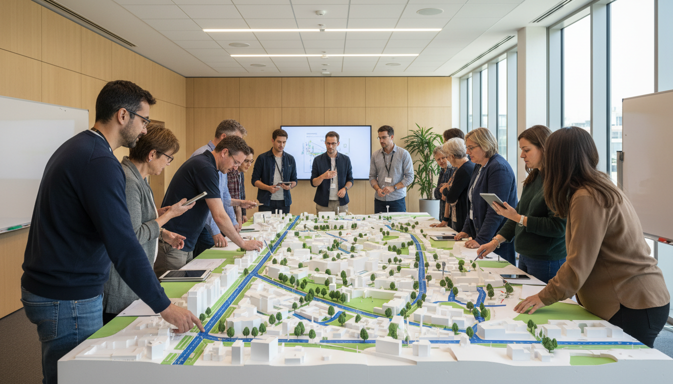
Engaging the public is a crucial aspect of the planning process, and 3D visualization can play an essential role in this endeavor. By presenting projects in a visually compelling manner, developers can more effectively communicate their vision to the community, addressing concerns and gathering valuable feedback.
Using 3D visualizations in public consultations can lead to increased support for development projects and a smoother path through the planning permit process. This proactive approach to public engagement helps ensure projects align with community needs and expectations.
Conclusion: Embracing 3D Visualization
In conclusion, 3D visualization is a powerful tool that enhances the planning permit approval process by improving communication, design, environmental considerations, and public engagement. As urban areas continue to grow and evolve, embracing this technology will be crucial for developers and planners aiming to successfully navigate the complexities of urban development.
By leveraging the benefits of 3D visualization, stakeholders can create more sustainable, attractive, and community-friendly developments, ultimately leading to a more efficient and effective planning process.